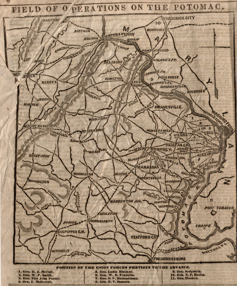
Field of Operations on the Potomac
This map from the New York Daily Tribune is an example of the methods newspapers used to help Americans visualize the geography of warfare — shaping their perceptions of the war and the landscapes on which it was fought. This map illustrates the position of Union forces along the Potomac just days before many of the troops headed south to begin the Peninsula Campaign.
About this Document
- Source: New York Daily Tribune
- Published: New York
- Date: March 13, 1862
- Further Information: About the Encoding

