A Diagram Exhibiting the difference of time between the places shown & Washington
A time atlas, illustrating the time and mileage distances between Washington and numerous other world locations. Conceptualizng space and time in a way that was meaningful to an increasingly mobile population became an increasingly important task during the 19th Century.

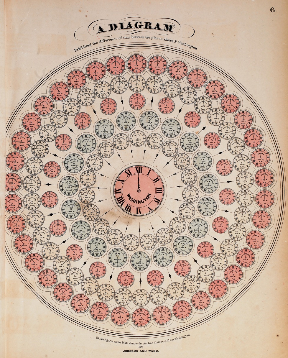
A Diagram Exhibiting the difference of time between the places shown & Washington