
This version of the website was created in 2025. See the Site Information Page for contact information, data downloads, and other details.

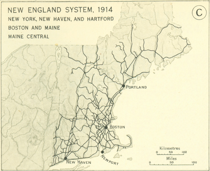
The New England Railroad System, 1914

This map from the 1932 Atlas of the Historical Geography of the United States depicts the New England railroad system in 1914, including the New York, New Haven, and Hartford, the Boston and Maine, and the Maine Central railroads.

NEW ENGLAND SYSTEM, 1914

About this Document

  • Source: Atlas of the Historical Geography of the United States
  • Source: Atlas of the Historical Geography of the United States
  • Author: Charles O. Paullin and John K. Wright
  • Author: Charles O. Paullin and John K. Wright
  • Publisher: Carnegie Institute of Washington and the American Geographical Society of New York,
  • Publisher: Carnegie Institute of Washington and the American Geographical Society of New York,
  • Published: Washington, D.C.
  • Published: Washington, D.C.
  • Citation: page 141c, page 141c
  • Date: 1932